
A Map of the British and French Dominions in America
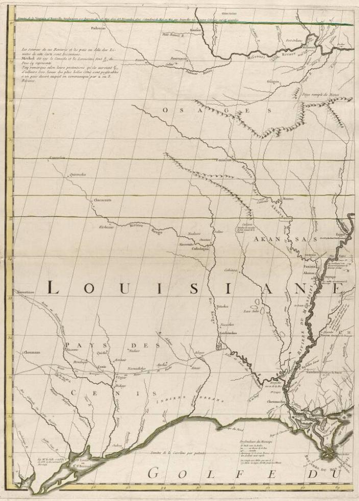
ArtistDrawn by
John Mitchell(British, 1711–1768)British, 1711–1768
Publisher
George Louis Le Rouge(French, active 1741–1789)French, active 1741–1789
CultureFrench
Titles
- A Map of the British and French Dominions in America
Date1756
MediumEngraving with outline color on paper
DimensionsSheet (unfolded): 29 9/16 × 21 1/2 in. (75.1 × 54.6 cm)
Credit LineThe Bayou Bend Collection, museum purchase funded by the Sarah Campbell Blaffer Foundation
Object numberB.77.18.5
Not on view
Explore Further
Department
Bayou BendObject Type
ProvenanceAcquired on Jan. 18, 1977, from Kenneth Nebenzahl, Chicago, Ill.
Inscriptions, Signatures and Marks
verso top left in ink reading vertically: Canada 5 flle No 147
Cataloguing data may change with further research.
If you have questions about this work of art or the MFAH Online Collection please contact us.
There are no works to discover for this record.