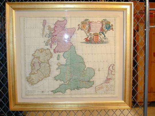
Artist
Justus Danckerts (Dutch, active 1660–1692)Dutch, active 1660–1692
CultureDutch
Titles
- Map of England, Ireland and Scotland from "Atlas"
Datec. 1670–1710
PlaceEngland
MediumEngraving
DimensionsImage: 20 × 40 in. (50.8 × 101.6 cm)
Frame: 26 1/2 × 30 1/2 in. (67.3 × 77.5 cm)
Frame: 26 1/2 × 30 1/2 in. (67.3 × 77.5 cm)
Credit LineSarah Campbell Blaffer Foundation, Houston
Object numberBF.2001.8
Not on view
Explore Further
Department
Sarah Campbell Blaffer FoundationObject Type
Cataloguing data may change with further research.
If you have questions about this work of art or the MFAH Online Collection please contact us.
Colonel Thomas Thornton
1804
Book with sixteen engravings
BF.2002.5
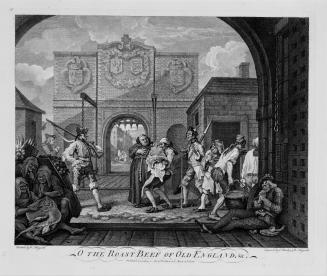
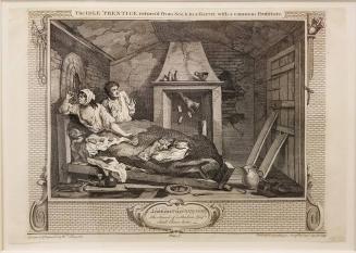
William Hogarth
March 1748/1749
Etching and engraving
BF.1983.5.33
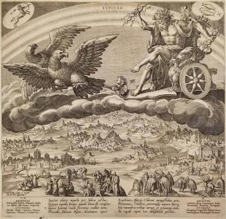
Johannes Sadeler I
1585
Engraving on laid paper
BF.2016.7.8
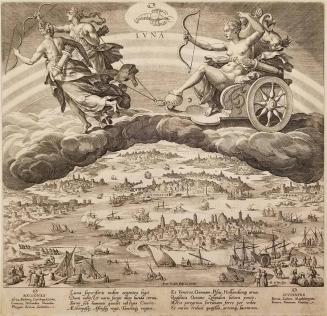
Johannes Sadeler I
1585
Engraving on laid paper
BF.2016.7.7
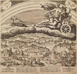
Johannes Sadeler I
1585
Engraving on laid paper
BF.2016.7.1
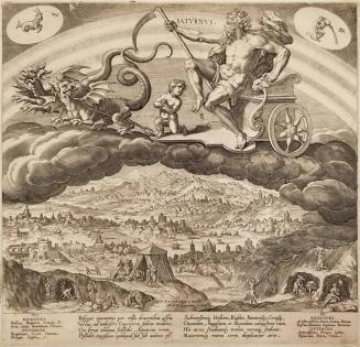
Johannes Sadeler I
1585
Engraving on laid paper
BF.2016.7.2
Johannes Sadeler I
1585
Engraving on laid paper
BF.2016.7.4
Johannes Sadeler I
1585
Engraving on laid paper
BF.2016.7.3
Johannes Sadeler I
1585
Engraving on laid paper
BF.2016.7.6
Johannes Sadeler I
1585
Engraving on laid paper
BF.2016.7.5
William Hogarth
October 1747
Etching and engraving
BF.1983.5.51